


Adlard Coles Logbook
This logbook is not only a convenient place for captains to keep all the specific notes that need constant referral during a long voyage, but also a comprehensive sailing record.
The perfect gift for sailors and boat-owners.

Adriatic Pilot
![]()
In publication for over thirty years, Adriatic Pilot remains the only single volume to cover the whole region, from Albania and the heel of Italy in the south to Venice and Slovenia in the north. The ever-popular cruising ground of Croatia is covered extensively in four separate chapters.

Chile – Arica Desert to Tierra del Fuego Pilot
![]()
This guide to Chile covers the coasts from Arica in the north to Cape Horn in the south, and includes Isla de Pascua and Islas Juan Fernandez to the west.
Chile’s vast coastline offers the complete range of scenery and is one of the last easily accessible places on the planet where yachts can explore little known waters and find previously unreported anchorages.
This edition is a compilation of information gleaned by many visiting yachtsmen, edited into a coherent and thorough guide. It offers detailed, fully updated sailing directions for almost all the important harbours and anchorages, many of which are documented here for the first time. The detailed text is supported by revised colour sketch plans throughout.
The book now contains full colour photographs which relate to the sketch plans.

First Aid Manual
First Aid Manual looks at more than 100 different conditions, from splinters and sprained ankles to strokes and unconsciousness, and shows exactly what to do with step-by-step photographic sequences.
Every condition is clearly explained, outlining causes, symptoms, and signs, and action plans. The updated design makes the instructions easier to follow, whether you need information on emergency first aid, first aid for babies and children, or tips on resuscitation.

Greek Waters Pilot
![]()
Greek Waters Pilot is the definitive cruising guide to the coasts and islands of Greece. It covers the entire area from the Ionian Islands to the Aegean, Rhodes and Crete and includes details of over 450 harbours in a single volume.
Greek Waters Pilot has been painstakingly compiled from the author’s own survey work and the latest first-hand information.
Download supplement:
![]()

Imray naval charts
![]()
These award-winning nautical charts are based on current hydrographic surveys with a unique, easy-to-read colour scheme and layout, all printed on high quality water-resistant paper.


Indian Ocean Cruising Guide
![]()
A general cruising guide covering the routes from Europe to Australia and points in between. The ‘Indian Ocean Cruising Guide’ covers all the usual points of interest for cruising yachtsmen, from history to climate, weather patterns, formalities, route planning and so on. The general sections are followed by a country-by-country round-up in which key ports are described in detail with the aid of harbour plans and photographs.
This second edition has been thoroughly revised and contains a lot of additional information on Malaysia and Thailand, the Seychelles and the Chagos archipelago. The introduction has been expanded and throughout there are new plans and photographs.
Download supplement:
![]()

International Collision Prevention Rules
The International Collision Prevention Rules must be followed at sea by all vessels in order to avoid collisions.
This book aims at a deeper understanding and correct application of these regulations.

International Medical Guide book bilingual
The book International Medical Guide is bilingual, in Greek and English, and contains all the necessary information for first aid, including the ship’s pharmacy.

International Medical Guide for Ships
The International Medical Guide for Ships contains all the necessary information for first aid, including the ship’s pharmacy.
The edition is in Greek.

Ionian Islands Pilot
![]()
Ionian has once again been thoroughly updated, with several new photos included to illustrate some of the changes. Covering the coast and islands southwards from Corfu to Finakounda and eastwards to Mesolongion, this much-loved guide contains more detail of many of the smaller anchorages and harbours than are comprehensively covered in Rod Heikell’s Greek Waters Pilot.
It is ideal for charterers and flotilla sailors who are onboard for a relatively short time, but also for longer term cruisers on their own yachts who are looking for additional pilotage and background information for this popular cruising ground. As with all the Heikell guides, Ionian not only gives all the essential information you need but also exudes the charm and flavour of this corner of the Mediterranean.

Islas Baleares Pilot
![]()
This eleventh edition of Islas Baleares, covering Ibiza, Formentera, Mallorca, Cabrera and Menorca, has been revised and updated for the RCC Pilotage Foundation by David and Susie Baggaley, whose Beneteau 42, Kookaburra has been based in Addaya, Menorca for several years. In their research for this edition, over two seasons, the authors confess to having enjoyed a new purpose to their cruising in the islands, and they share their knowledge enthusiastically and authoritatively.
A selection of completely new plans is included, and pre-existing plans have been updated throughout. There are also many attractive new photographs which are informative to the navigator.
Download supplement (March 2020):
![]()

Italian Waters Pilot
![]()
Italian Waters Pilot is the only guide for yachtsmen in English that covers the coasts of the Tyrrhenian Sea, Sardinia, Sicily, the Ionian ‘heel’ and Malta in one volume.
This new tenth edition builds on first-hand research by the authors through the Tuscan islands, along the Tyrrhenian and Ionian coasts, to Sardinia and Sicily, Malta and Gozo.
Numerous revisions have been made throughout, with the text, plans and photographs undergoing a complete overhaul. Care has been taken to research the details of marina developments. Where it has been available information is given on proposed changes and extensions to yacht harbours. Marine reserves are now an important feature of the coasts and off-lying islands, particularly in Sardinia and Sicily, and this edition provides updated details of the latest regulations.
Climate change and extreme weather events are becoming a major issue and this edition includes a section on the how climate change might affect sailing in the Mediterranean.
Italian Waters Pilot is the last word on the area for yachts cruising there and on their way between western and eastern parts of the Mediterranean.
Download supplement (February 2020):
![]()

Life jacket instructions poster
Instructions for life jackets.
In greek and english.
Dimensions 35x50cm.

List of lights of Hellenic Coasts
List of lights of Hellenic Coasts a book that contains all the lighthouses, lighthouse ships, radar aids and sound signals of the Greek coasts.
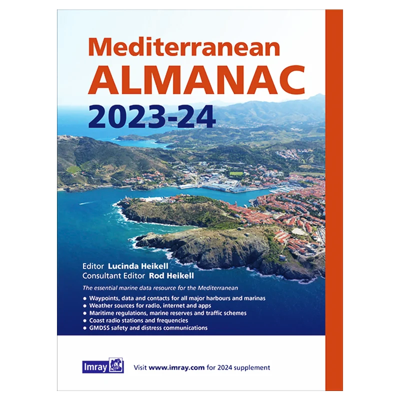
Mediterranean Almanac
![]()
The essential companion and general handbook for the Mediterranean, the Imray Mediterranean Almanac 2019/20 is published in full colour.
All the harbour plans appear in the familiar Imray livery which adds clarity to their use. There are the usual detailed revisions throughout this edition, plus many new harbour plans.
The Imray Mediterranean Almanac is the ideal compendium of information for yachts on passage through the Mediterranean.
Download supplement:
![]()

Mediterranean France and Corsica Pilot
![]()
This is a comprehensive companion to the long coastline which ranges from Spain and the edge of the Pyrenees to the Alpes Maritimes and Italy. It covers the flat country of Languedoc-Roussillon, the coast of the Golfe du Lion, the Rhône delta and the Camargue, the industrial Golfe de Fos, the Côte d’Azur and the French Riviera and Monaco.
The island of Corsica and the waterways that run behind the coast linking the Canal du Midi and the étangs to the Rhône are covered in separate chapters.
There are new aerial photos for many places and in particular for ports and harbours in Languedoc – Roussillon.
Download supplement:
![]()

Nautical knots board
The nautical knots board is a sticker 16x23cm and depicts 24 different nautical knots.

Navigator’s Log Book Imray
![]()
50 loose-leaf pages in a strong PVC cover, ring bound for easy refill.


Patagonia and Tierra del Fuego Nautical Guide
![]()
This pilot, now in its 3rd edition, is published in English by an Italian couple who have spent more than eleven years cruising in the Patagonia and Tierra del Fuego area.
The work is divided into two sections. The first part contains subjects such as yacht preparation, rules of navigation, meteorology, radio frequencies, flora and fauna, geology, history and a bibliography.
The second part is strictly nautical. It describes more than 400 anchorages, all tested out by the authors. The description of every anchorage is accompanied by a clear plan, with recommendations as to where best to anchor as well as other practical tips.
Principally in black and white but with some magnificent colour plates.

Red Sea Pilot
![]()
This fully revised 2nd ed. pilot covers the entire stretch of the Red Sea from Aden to Cyprus. Including ports and anchorages on the Red Sea coasts of Oman, Yemen, Aden, Djibouti, Eritrea, Sudan, Saudi Arabia, Egypt, the Gulf of Aqaba, the Suez Canal, Israel and Cyprus.
Over 70 anchorages were resurveyed and new ones explored. One key improvement is the coverage of diving sites.

Rescue signal table
Rescue signal table double sided. Contains life boat landing signals and search and rescue airplane signals for help to airplanes, ships or men in distress.
Written in Greek and English.
Dimentions: 27x40cm.


Table for garbage disposal regulations at sea
The table summarizes Marpol 73/78 Annex V. of regulations for the prevention of garbage disposal at sea.
Written in Greek and English.
Dimentions: 25x30cm

